

Geography, 23.06.2020 10:57, deyuntamathis
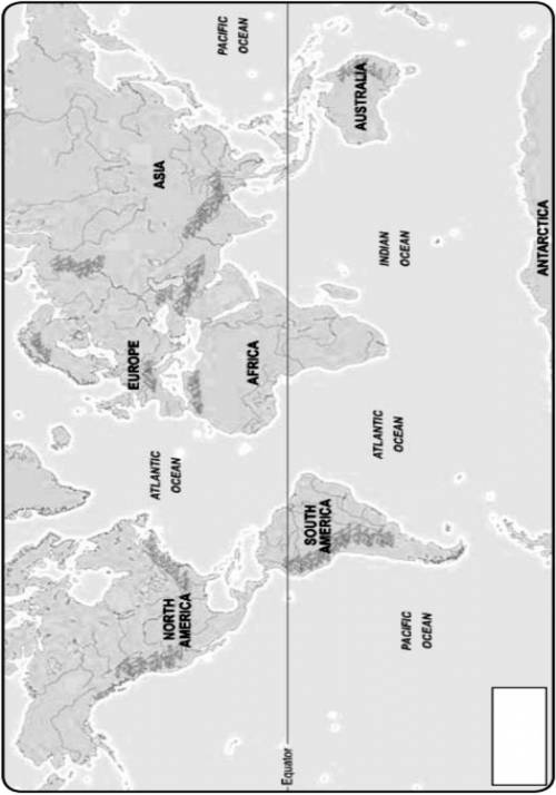
Using a red-colored pencil, trace the patterns of the prevailing winds on the map. Be sure to include the following prevailing winds: Prevailing Westerlies Trade Winds Northern Subtropical Gyre Southern Subtropical Gyre Doldrums Draw arrows on each pattern to show which direction the wind blows. Label the various prevailing winds with their appropriate names. Sketch the major ocean currents onto the map using a blue-colored pencil. Be sure to include the following ocean currents: Japan Current Northern Equatorial Drift Southern Equatorial Drift Gulf Stream West Wind Drift Brazil Current Draw arrows on each pattern to show which direction the surface current flows. Label each ocean current pattern with its correct name. In the box provided, create a legend, being sure to key the different colored lines.

Answers: 3


Other questions on the subject: Geography
Geography, 22.06.2019 20:20, cecy1127
What is the general rule about surface currents? cold water flows along the ocean floor towards the equator. the east coasts of continents have cold surface currents, and the west coasts of continents have warm surface currents. seasonal and constant offshore winds create significant upwelling along the west coasts of south and north america and africa. the west coasts of continents have cold surface currents, and the east coasts of continents have warm surface currents.
Answers: 1
Geography, 23.06.2019 20:00, brownboimexican
Scientist: cross-sections of stalactites—calcite formations deposited on cave ceilings by seeping water—can reveal annual variations in rainfall in particular areas over hundreds and thousands of years. we often found that when—according to these cross-sections—drought occurred in a particular area, it coincided with the collapse of an ancient society in that area. i hypothesize that drought reduced agricultural productivity in these areas, thereby leaving these societies without the resources needed to handle internal stresses and external threats. which of the following, if true, would most weaken the support for the scientist's hypothesis? a. many droughts indicated in the cross-sections of stalactites do not correspond with the collapse of a society in that area. b. information from the cross-sections of stalactites alone cannot reveal the level of agricultural output in an area at a particular time. c. most of the societies that collapsed during droughts did so when internal power struggles coincided with military raids from neighboring societies. d. most of the societies that collapsed during droughts maintained large stockpiles of food and water at the time of their collapse. e. information from stalactites also suggests that the collapse of some societies coincided with periods of abnormally high rainfall.
Answers: 1
Do you know the correct answer?
Using a red-colored pencil, trace the patterns of the prevailing winds on the map. Be sure to includ...
Questions in other subjects:

Mathematics, 09.03.2021 18:50

History, 09.03.2021 18:50

Mathematics, 09.03.2021 18:50


