

Geography, 11.07.2019 21:30, missinghalloween13
What graphic would most represent the shape or profile of the main geographical feature in the map shown below? (refer to first image and then use the second set of images to answer the question.)a.)1b.)2c.)3d.)4
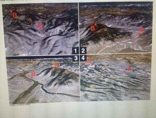

Answers: 1


Other questions on the subject: Geography
Geography, 22.06.2019 09:30, gwoodbyrne
Amountain created from tectonic activity would be considered which type of landform ? a) primary landform b) secondary landform
Answers: 2
Geography, 22.06.2019 21:30, htahir2345
In which area will soil formation be greatest? a a steep slope in a warm, b wet climate a flat area in a warm, c wet climate a north-facing area on a steep slope a flat area in a cold, d wet climate description
Answers: 2
Geography, 23.06.2019 00:00, erin2077
This map shows the member states of the european union (eu). based on this map, what is the most likely reason the eu was formed? a) to increase trade between european nations b) to protect themselves from foreign enemies c) to begin the process of forming one large nation d) to isolate europe from the rest of the international community j
Answers: 3
Geography, 23.06.2019 08:50, rmans22209
Which of the following is true of all geographic locations on earth?
Answers: 3
Do you know the correct answer?
What graphic would most represent the shape or profile of the main geographical feature in the map s...
Questions in other subjects:

Social Studies, 21.07.2019 09:30

Mathematics, 21.07.2019 09:30
Social Studies, 21.07.2019 09:30

Biology, 21.07.2019 09:30

History, 21.07.2019 09:30


